Government Grants
Business Grants
Home Owner Programs
Federal Programs
About Us
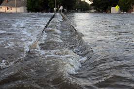
3D Elevation Program (3DEP)
3DEP was developed to respond to needs for high-quality topographic data and for a wide range of other three-dimensional representations of the Nation's natural and constructed features.
This Broad Agency Announcement (BAA) is issued to facilitate the collection of lidar and derived elevation data for the 3D Elevation Program (3DEP).
The BAA continues the USGS long-standing approach to elevation data acquisition through a combination of contracting through the USGS Geospatial Products and Services Contracts (GPSC) and partner acquisitions.
The BAA is meant to provide increased visibility to these existing processes for data acquisition partnerships to the broadest stakeholder community possible.
Who's Eligible
Relevant Nonprofit Program Categories
Obtain Full Opportunity Text:
http://www.grants.gov/
Additional Information of Eligibility:
For profit and not-for-profit organizations excluding Governments and government owned entities.
Full Opportunity Web Address:
Contact:
Agency Email Description:
Agency Email:
gs_baa@usgs.gov
Date Posted:
2016-08-11
Application Due Date:
2017-09-30
Archive Date:
2017-10-30
Social Entrepreneurship
Spotlight
Using Fashion as a Force for Social and Environmental Good
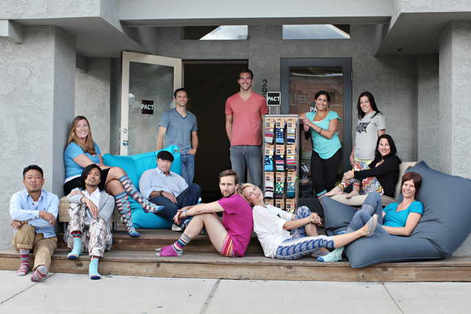
Jeff Denby co-founded PACT, a movement camouflaged as a clothing company. Denby and his team decided to build a business to fund the causes they believe in.
Learn How to Identify and Avoid Grant Scams
